For my employer's semi-annual Wellness Day, I decided to embrace the opportunity and set off on a long run. Bay Area weather is remarkably and consistently favorable for running, but as soon as you head inland, away from the coast, it's imperative to start early to avoid sun and midday temperatures. Thus, I decided to take a chance and plan a long run which would take advantage of early weekday bus schedules. Always searching for new point-to-point routes, I plotted out a twenty mile route through the San Leandro Creek Watershed, starting at Moraga and ending in Castro Valley.
I'd ventured tenuously into this area before, but always on an out-and-back run and never with sufficient water and planning to really see what it's really about. I don't know exactly what I expected, but it was so much more remarkable an area than the map suggested.
12th Street Oakland
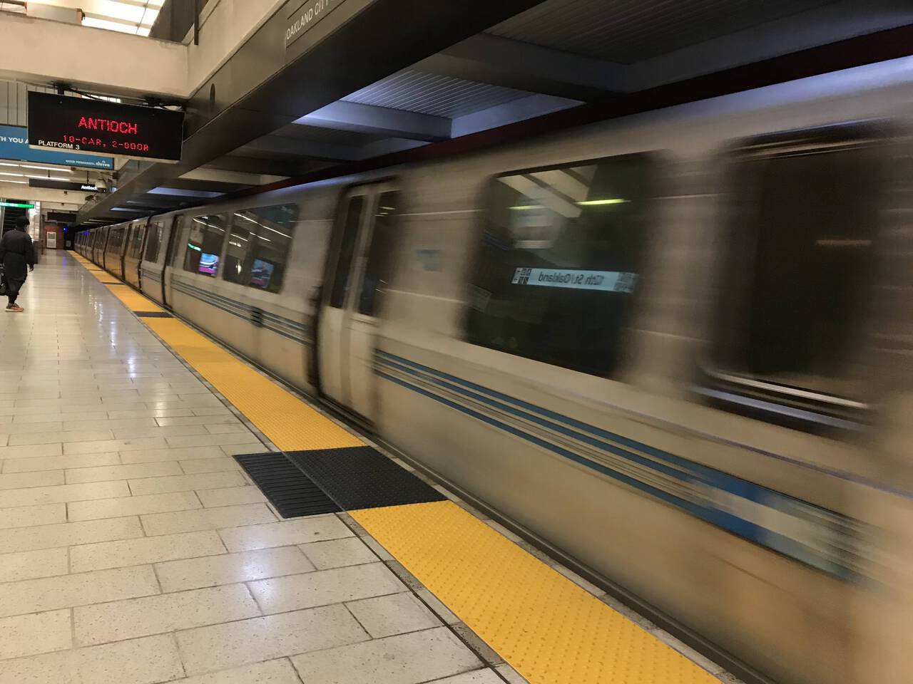
I arrived at 12th Street Oakland at 5:25 AM and caught the Antioch-bound train just a couple minutes behind schedule, at 5:32 AM.
Lafayette
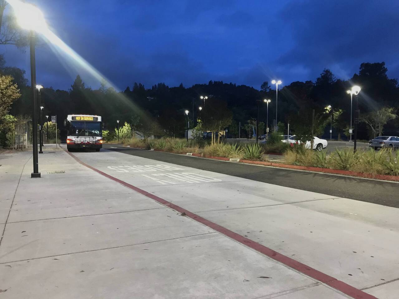
From the Lafayette BART station, it was only a few feet and a couple minutes until the the 6 AM Saint Mary's College-bound bus. This was my first venture into the County Connection bus system, and I was not disappointed. Buses are just so quick and easy. Unfortunately, the first weekend bus departs at 9:24 AM, so this route wouldn't work as well on a weekend.
Moraga
I began my run at 6:11 AM, just 45 minutes after leaving home, at the bus's closest point to the Rancho Laguna trailhead. Not bad!
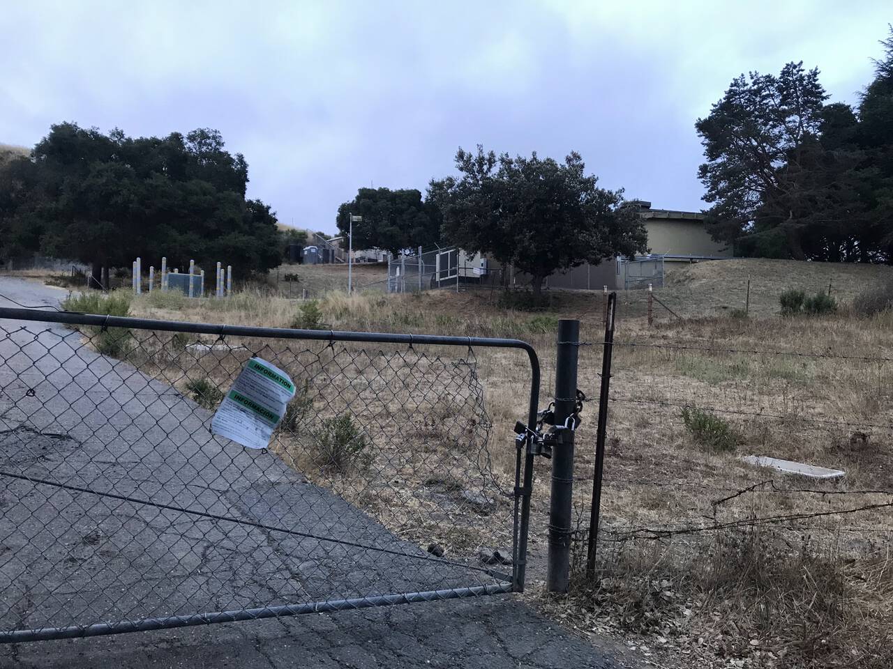
GaiaGPS suggested the existence of a trail which would get me to the Rancho Laguna trailhead via hills instead of roads, although it's clear from GaiaGPS's amazing public and private land layers that it cuts across private land. Alas, access was pretty definitively blocked by a locked gate. I'm certain a hop and a hundred meter jog would have put me on the connector trail, but I generally prefer to color inside the lines as far as trail access goes. I'm not generally impressed with some of the routes I've seen online where, out of disregard rather than any sort of need or even confusion, people simply cut across whatever land they please. So I considered it a nice hill warmup and opted for the road instead.
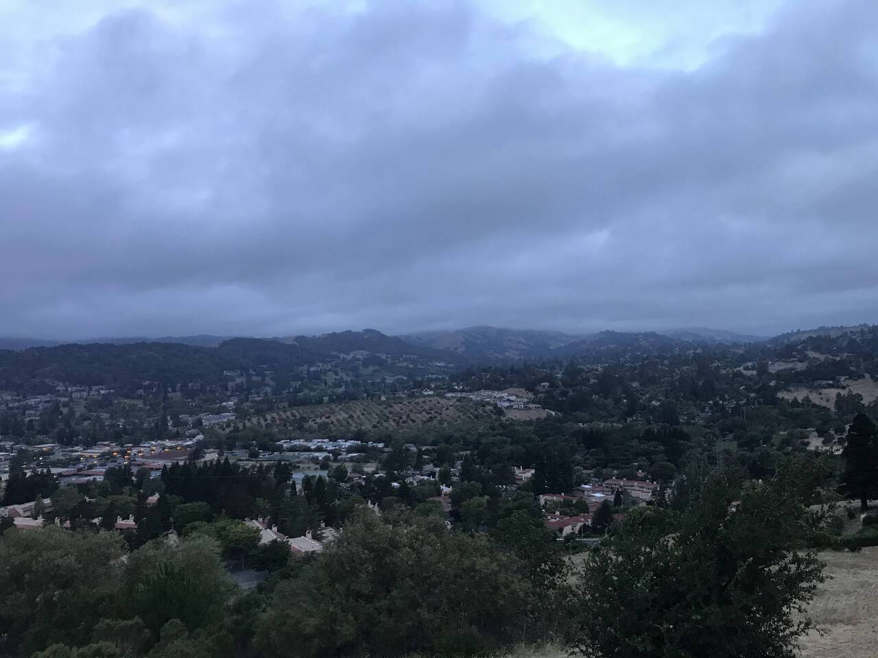
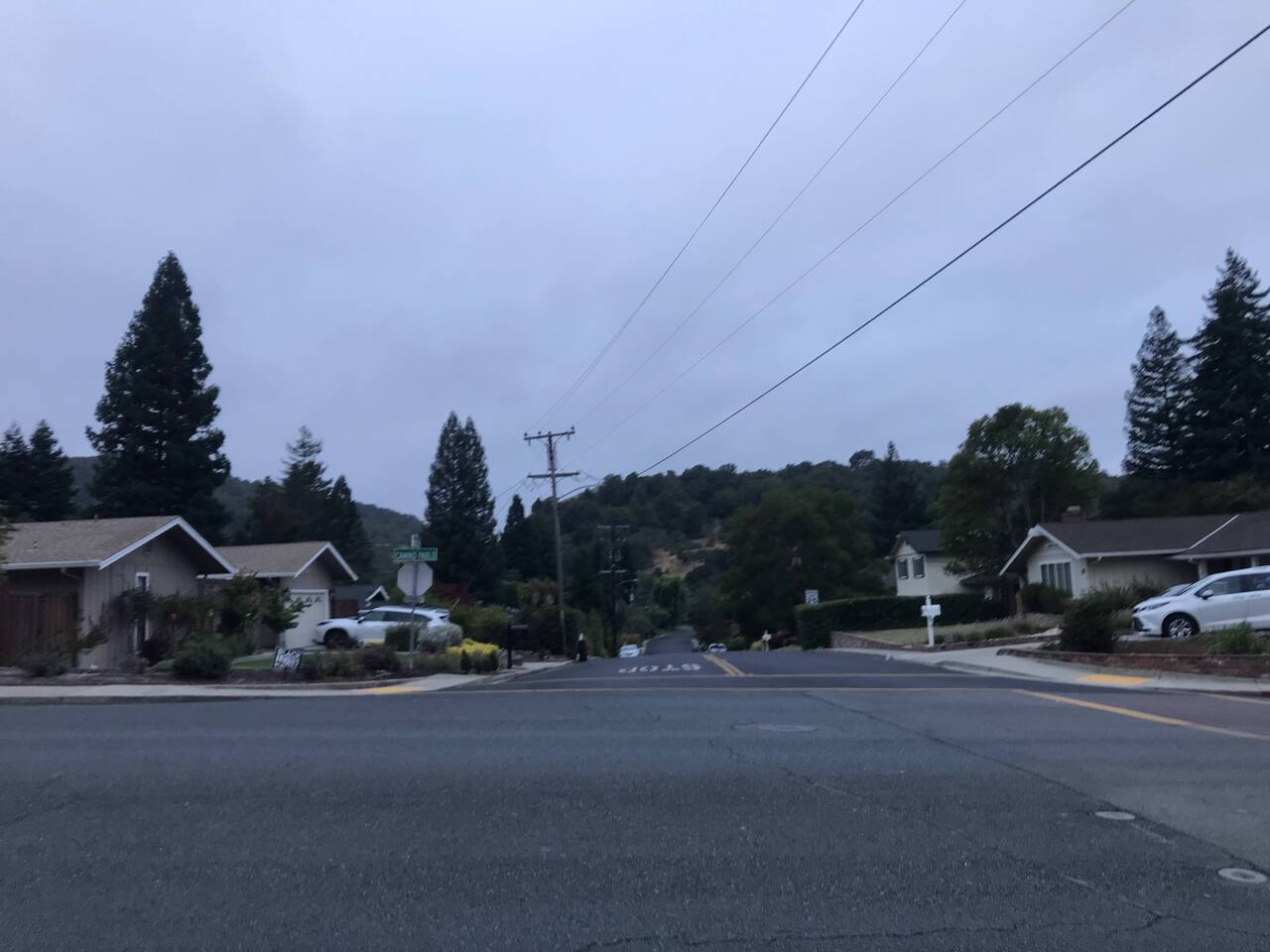
To tell the truth, I sort of get the appeal of the suburbs. You get space, proximity to nature. The kids can run around. But it's the city for me.
Rocky Ridge Trail
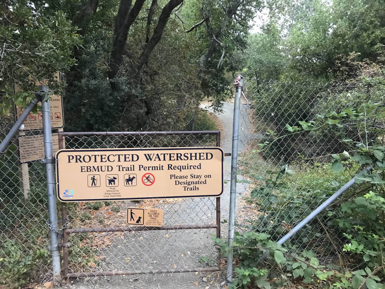
Easy to miss next to the more glamorous parks, the EBMUD watershed trails are a hidden gem of the Bay Area. At $30 for five years (other options available), a trail use permit is an exceptionally reasonable investment.
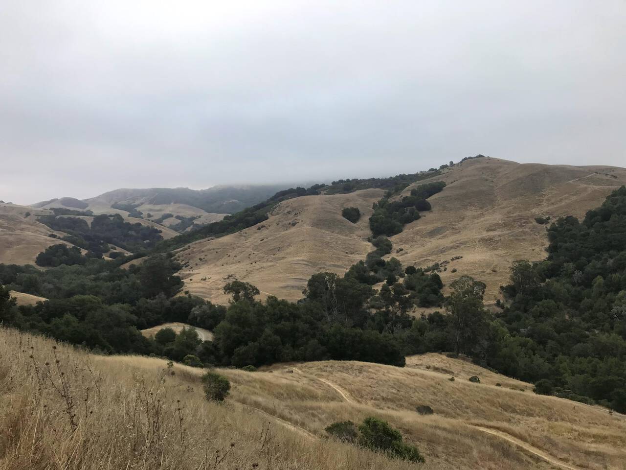
The Rocky Ridge Trail quickly launches you into endless cow pasture rather than any sort of wilderness, but only a bit over an hour from home in Downtown Oakland, it's hard to express just how remarkably far away from everything it feels. I've not often run for twenty miles and not seen a paved road, a person, or more than a couple four-walled structures in the distance.
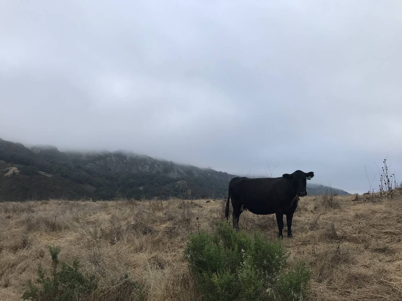
The cows agree that it's nothing but hills as far as you can see in every direction.
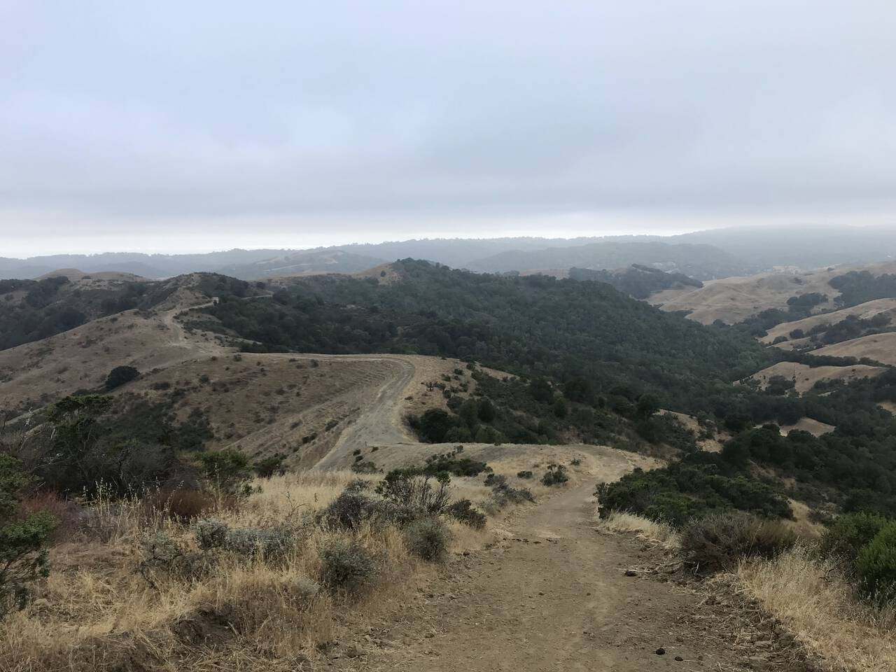
Ridge View Trail
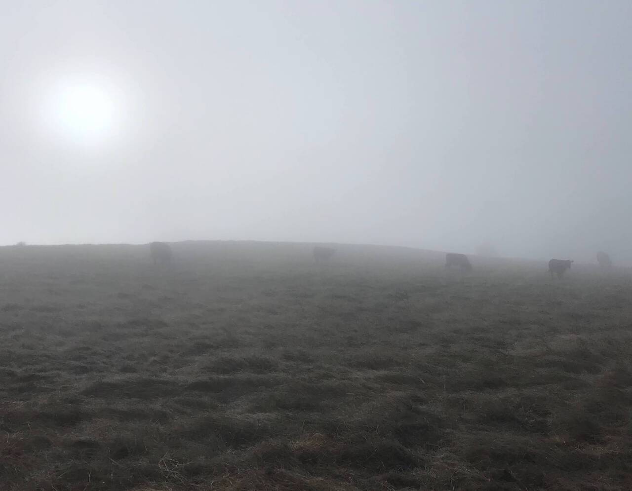
As I neared the high point of the route, the cows disappeared into the fog.
Ramage Peak Trail
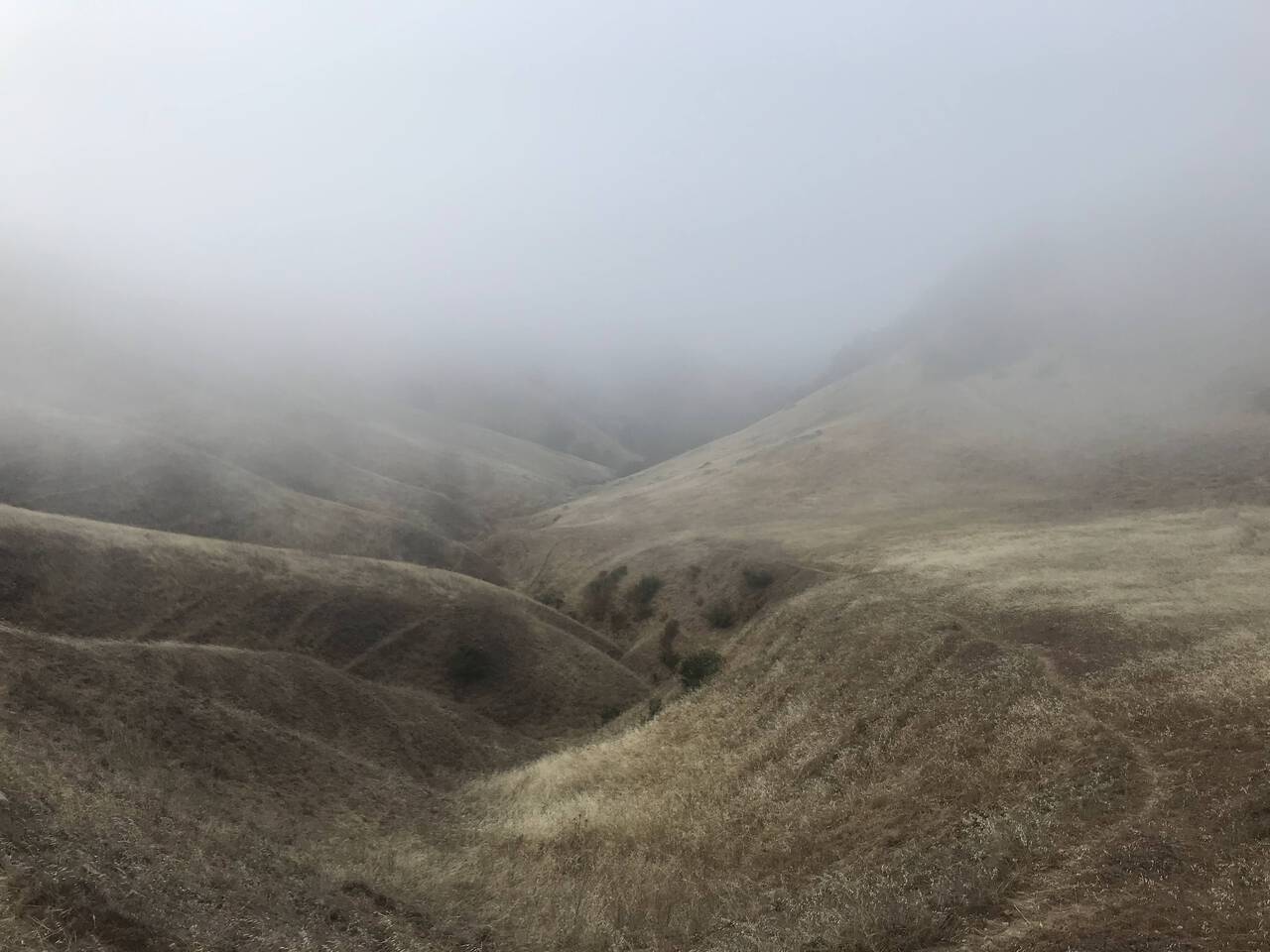
A much as I wanted to continue over the ridge into Las Trampas Wildernes Regional Park, I followed my plan and took the Ramage Peak Trail toward Lake Chabot and Castro Valley.
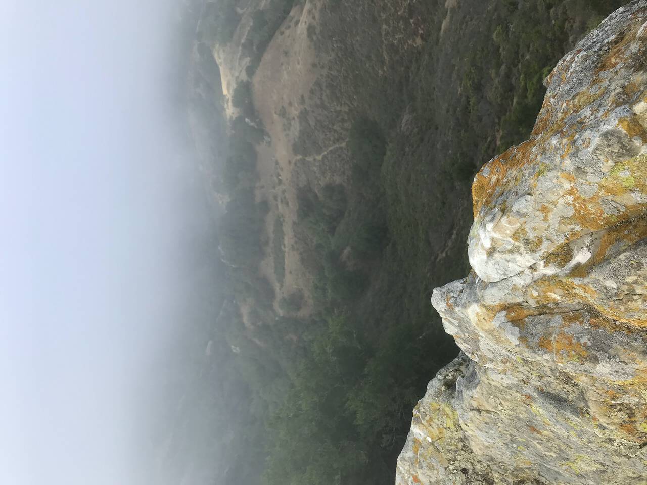
I didn't miss the chance to do some awful scrambling on moist rocks and lichen, though I'd probably have reconsidered if I realized at this point that the run would take four and a half hours.
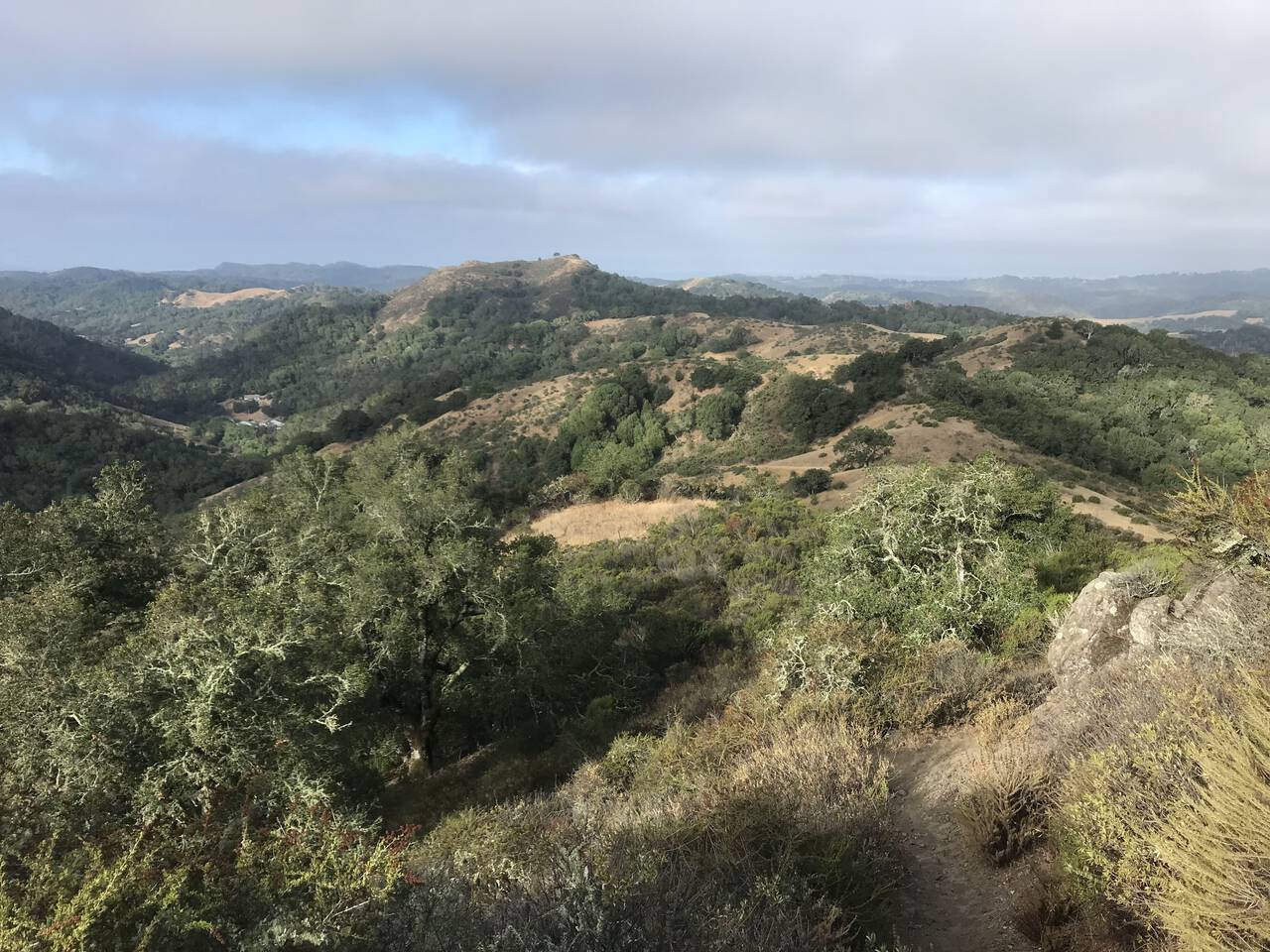
The panoramic views only got better as the morning fog started to burn off, but I was glad to have spent the morning running through marine fog rather than mid-afternoon temperatures.
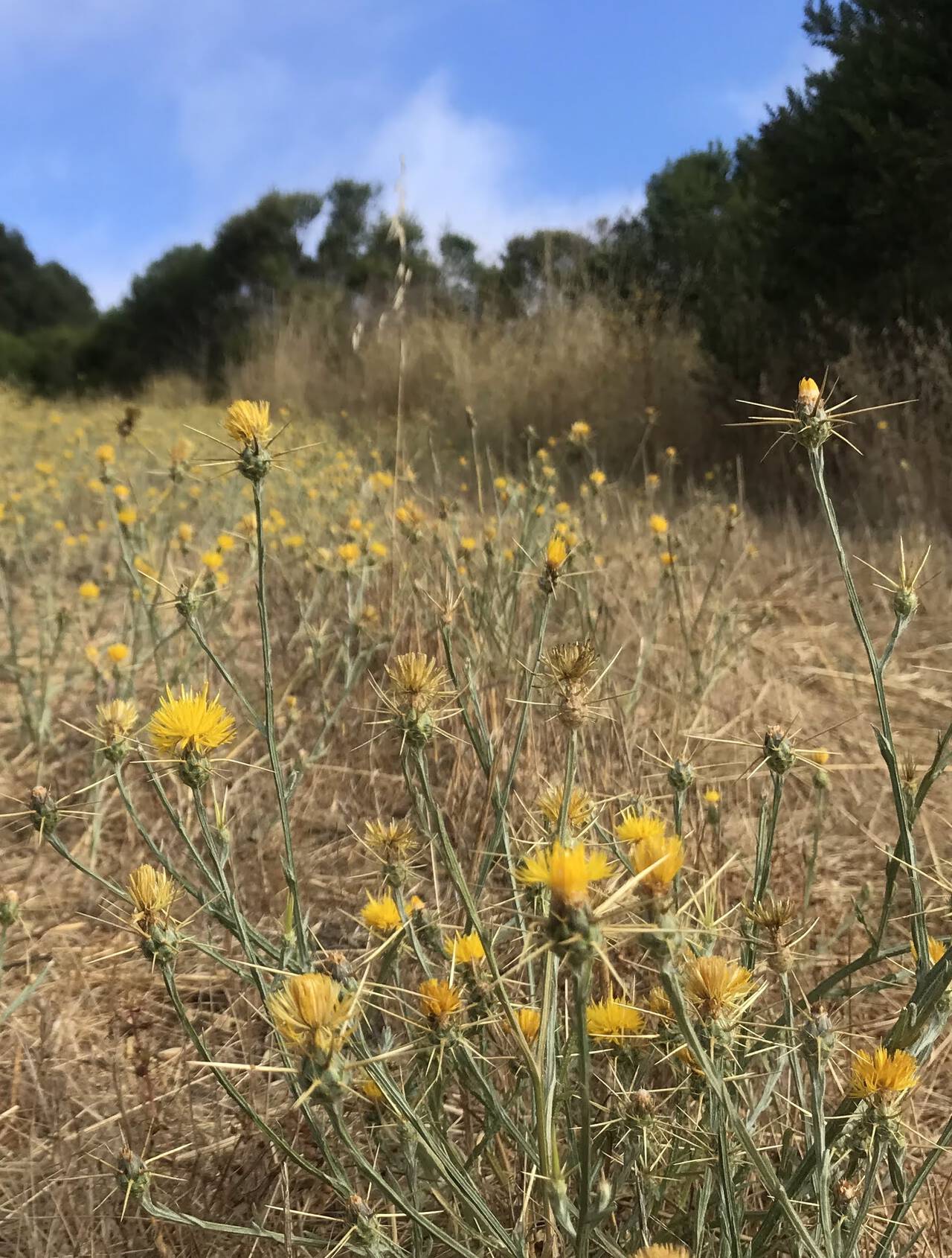
The invasive, spike-encrusted, exposed-ankle-height Yellow Starthistle is as painful as it is abundant.

Potential wrong turns abound. I followed my downloaded GaiaGPS maps carefully, but if my phone had died, I'd have had no choice but to immediately turn around and head for more familiar territory. I suspect this section of trail may only see a handful of visitors per week, so in case of the worst—which tragically absolutely does happen in this area—it didn't feel like overkill to have stashed my newly-purchased ACR ResQLink 400 Personal Locator Beacon in the bottom of my backpack.
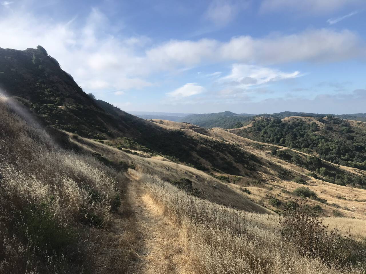
The Ramage Peak Trail doesn't pass over the eponymous peak (turns out the peak is private property; thanks again, amazing GaiaGPS land use layers!), but the views at this point were lovely nonetheless.
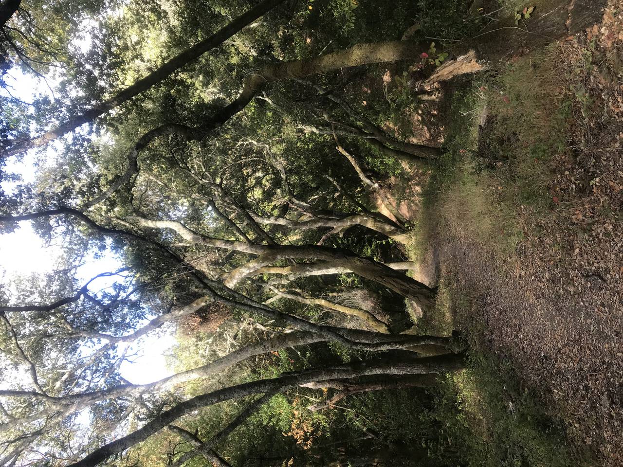
Over and over, I was on the threshold of stopping to finally apply sunscreen, but the trail kept veering into a forest or behind a hill. I questioned my decision to run an inland route in August as I've had some bad experiences at Mount Diablo, but the temperatures were cool and the entire route was surprisingly well protected from the sun.
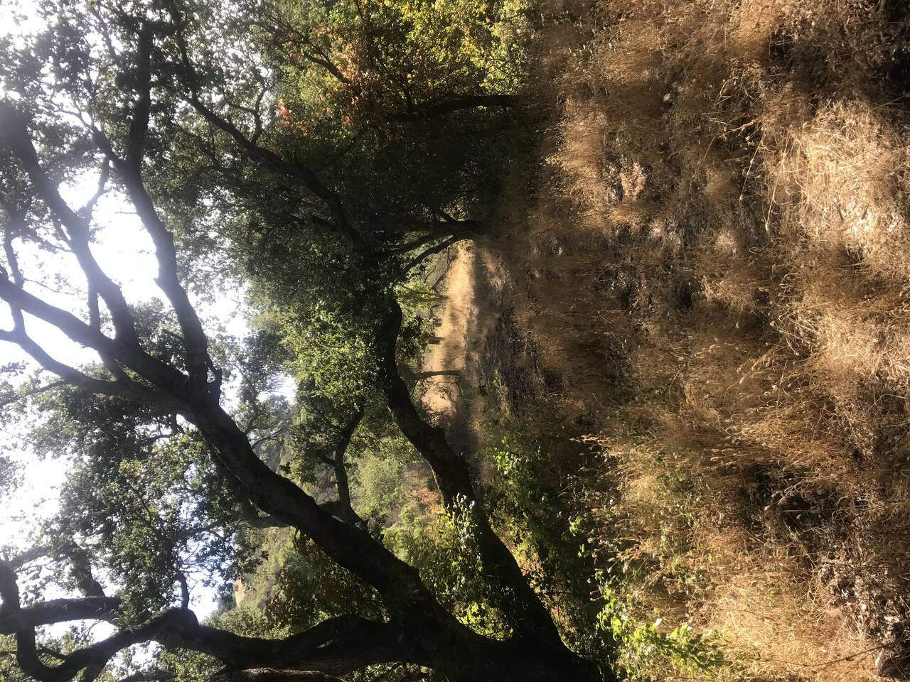
The trail winds through the hills for miles, never quite flat, never quite hilly, neither for long fully shaded or fully exposed. On one hand this section is fairly monotonous, but on the other hand, the endless turns and smooth running were exactly what I was hoping to find here.
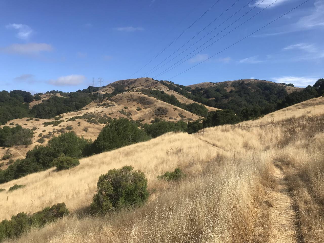
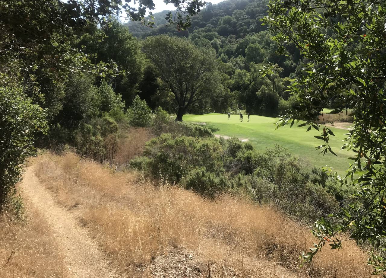
The signs of returning to civilization at last became unavoidable—as did sunscreen.
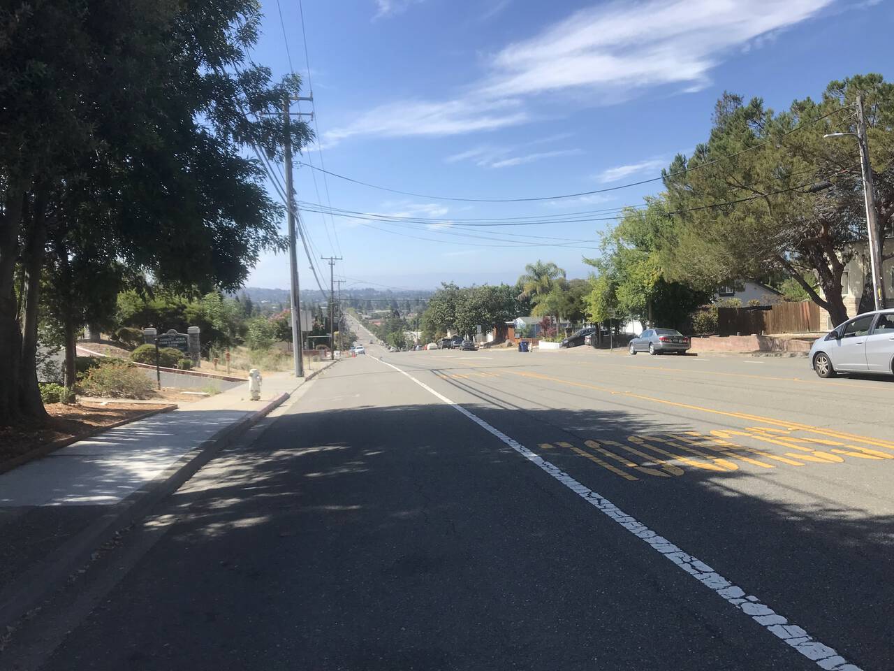
As the sun reached midday strength, the final jog to the Castro Valley BART station was not particularly pleasant, though not long enough to cause any serious distress after a long morning.
Though I still had an untouched 32 ounce water bottle, a quick stop by Safeway for pineapple juice and Gummy Lifesavers was worth the trouble. I meant to take a picture, but as the sun rose higher, I became fixated on making it to the Castro Valley BART station.
Castro Valley
Lake Merritt
Since the BART line from Dublin/Pleasanton doesn't go to the 12th street station, I opted to walk a bit extra to get home rather than transfer.
I won't undersell it. After a few moments of reflection, I'm willing to say that this is the best route I've run in the East Bay. Maybe not a route I'll run all that frequently, but definitely the most inspiring.
The distance wasn't exceptional, but more than most, this route felt remarkably far away from everything—from anything. I wonder if that feeling would hold up upon repeating. Part of me knows that it's all just cow pasture, but for a moment while I was running, I let the trail take me away and I forgot about everything except putting one foot in front of the other and wondering what was next.
The point-to-point format worked great for this route. In contrast, out-and-back routes always follow a certain trajectory for me. At about 40% of the run, I start to dwell on the increasing inevitability of turning around, and second half of the run simply retraces steps. Point-to-point runs feel more inspiring as you commit to a plan and trust that you'll come out the other side. The 12-mile Ramage Peak Trail would be difficult—or at least unpleasant—to complete as an out-and-back run since most of the effort would be redundant, expended just getting into the trail and back out. As a one-way adventure though, it's sublime.
As a recommendation, Las Trampas Wilderness Regional Preserve is the easiest way to access the area, leaving you free to explore the most interesting areas without committing to a twenty mile trek. Plan ahead. Bring enough water. But definitely don't miss this one.